
Urbanization and climate change are causing increased flooding in communities across Canada. This has motivated conservation authorities, local municipalities, and Indigenous communities to assess and establish accurate regional floodplain maps.
Floodplain mapping allows communities to take a proactive approach to flooding by reducing development in high-risk areas and establishing emergency plans for high-water-level events.
Over the past year, Chippewas of the Thames First Nation has been working with Green Communities Canada and other partners to develop floodplain maps and floodplain education for First Nations along the banks of Deshkan Ziibi (Thames River). The project was made possible with funding from the federal First Nation Adapt program and was delivered in partnership with Lower Thames Valley Conservation Authority, Cambium Indigenous Professional Services, Conservation Ontario, and Canadian Environmental Law Association.
This Indigenous-led conservation project combined technical knowledge and skills with the rich Traditional Ecological Knowledge (TEK) available within the local First Nation communities. The project also aimed to provide community education for First Nations across Ontario.
In 2021, five community workshops were organized to share the results of ongoing monitoring, gather feedback, and share important perspectives from the Chippewas, Oneida, and Munsee Nations who live along Deshkan Ziibi (Thames River).
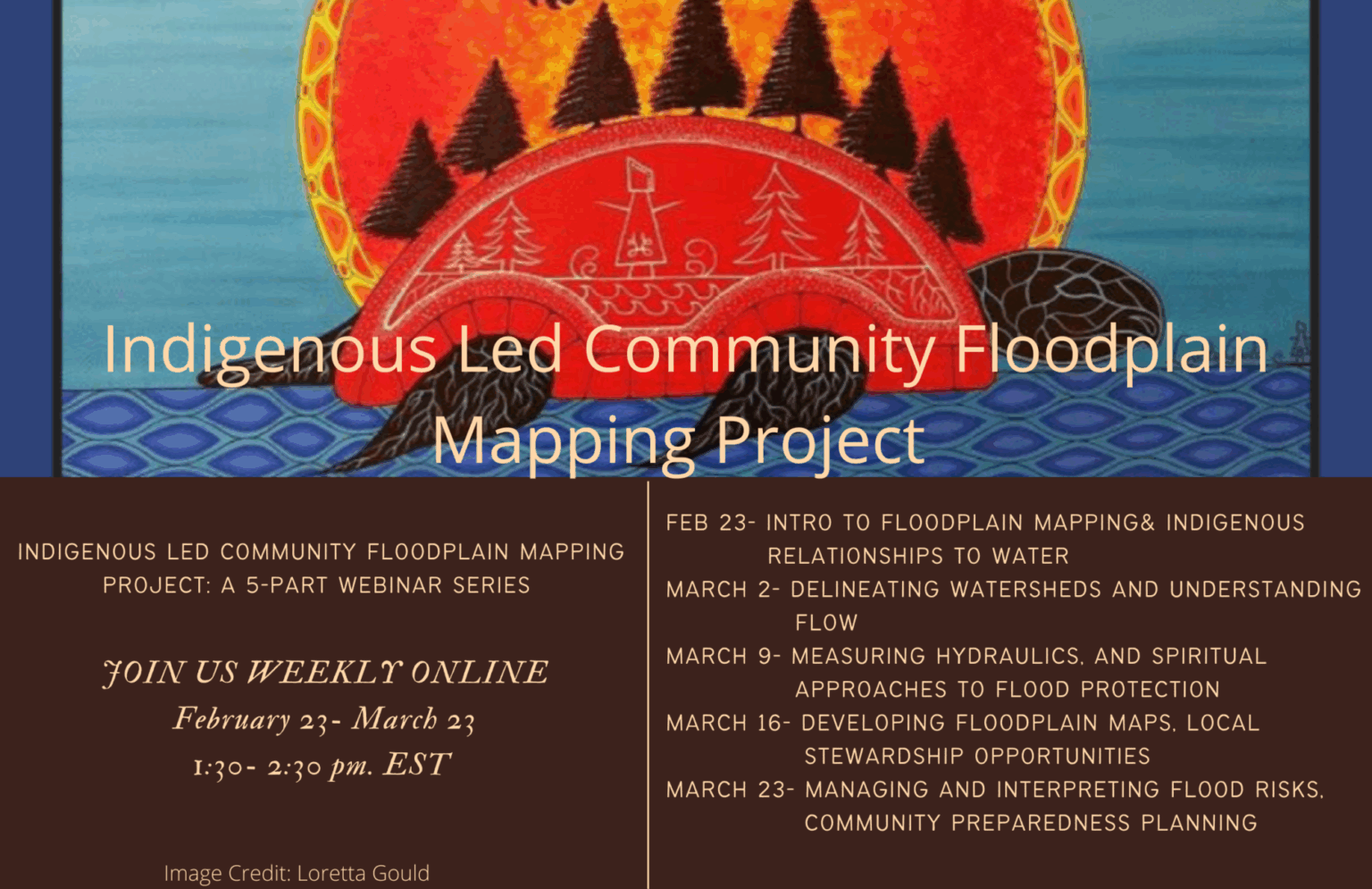
We are happy to be sharing the learnings from this project more broadly through a 5-part online webinar series. The series will enable Indigenous communities and environmental professionals to develop their own floodplain mapping projects and explore successful protocols and effective partnership approaches.
Please join us each Wednesday, February 23 to March 23, from 1:30- 2:30 pm EST.
For more information about the management of the Thames River, click here.