The purpose of this resource is to help students and their families identify and use safe walking and cycling routes to school within their neighbourhood, using maps.
Maps can be an effective tool for boosting active school travel by providing families with visually engaging information about walking and cycling routes, park and walk locations and school zone traffic rules.
Description
A Routes to School Map shows the network of streets and trails in the neighbourhood surrounding a school, and highlights routes that students can safely walk and cycle. It can also highlight other useful information, such as walking times, the location of traffic lights and crossing guards, bike lanes, transit stops, and pedestrian crossings. These maps can also be useful for communicating information about other active transportation initiatives, including Walking School Bus routes and stops, Drive to Five locations, or Wayfinding.
A good quality Route Map is a valuable resource for a school to help educate students and families about their neighbourhood, engage them in discussion, and encourage them to try walking and cycling. The process of creating a map is also a great engagement opportunity by inviting students, families, and school staff to contribute their ideas. The finished map can be shared widely through the school website, newsletters, information kits, and bulletin boards.
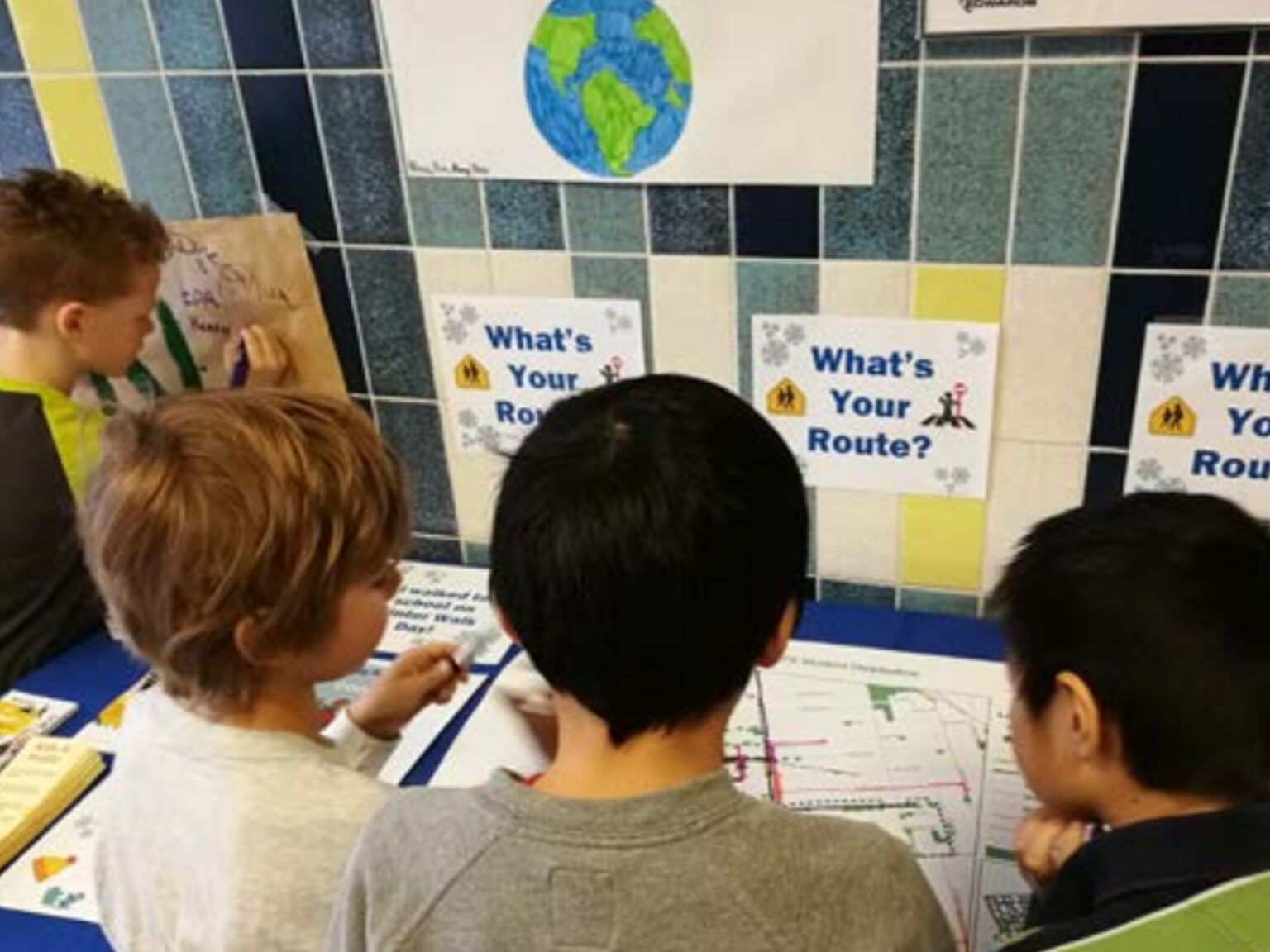
In the classroom, teachers can task students with drawing out routes, identifying areas of interest and concern in the neighbourhood, then coming to a group consensus on the “best routes” for walking or cycling to school. With this approach, the learning that happens through the process of creating the map is as much an outcome as the map itself.
What you will need
- Base map on which to draw routes
- Map showing the extent of your school catchment area
Who can help
Teachers, school board planning staff, municipal transportation planning staff, student transportation services, and police services.
How were these examples of Routes to School Maps made?
Walk to school
Niagara Region Park Walkability
- Developed by Niagara Region Public Health
- Software: ArcGIS
- Data Sources: ArcGIS (Streets)/Local Area Municipalities (Crossing Guards)/Niagara Region (School & School Walkability Buffers)
Thunder Bay School Routes Map
- Developed by EcoSuperior and Thunder Bay District Health Unit
- Software: ArcGIS
- Data Sources: School Boards & Student Transportation Authority (Location of students’ homes in the walk zone)
Toronto Active Routes to School Planner
- Developed by Green Communities Canada
- Software: OpenStreetMap (base map)/Word
- Data Sources: City of Toronto Interactive Map/Google Map
Park and Walk
Waterloo Parking Map
- Developed by the Student Transportation Services of Waterloo Region
- Software: QGIS online
- Data Sources: Google Maps/Municipal Crossing Guard data
Ottawa Walk-a-Block
- Developed by Ottawa Student Transportation Authority
- Software: Word document
- Data Sources: Google Maps
Bike to School
Ajax Bike to School Map
- Developed by the Town of Ajax
- Software: ArcGIS
- Data Sources: Town map data
School Zone Drop-off and Pick-up
Toronto Drop-off and Pick-up Planner
- Developed by Green Communities Canada
- Software: MS PowerPoint & Adobe Acrobat Pro
- Data Sources: School administration/Site visit
Key words
School, routes, mapping, map, planning, distance, student, geography, social studies, walking, cycling, neighbourhood.